This section of the website includes a series of articles focused on our work on glaciers and glaciation on Juneau Icefield, an icefield that straddles the national border between Alaska and British Columbia.
The large icefields of Alaska contain a huge volume of glacier ice; enough to raise global sea levels by a total of 46.4 mm if it all melted2. Alaska currently accounts for 25% of all ice loss from global glaciers, losing about 66.7 billion tonnes (gigatones, or Gt) of ice each year3. If that rate continues, all Alaskan ice will be gone in around 250 years. Unfortunately, there is evidence that ice loss from Alaska is accelerating3–5.
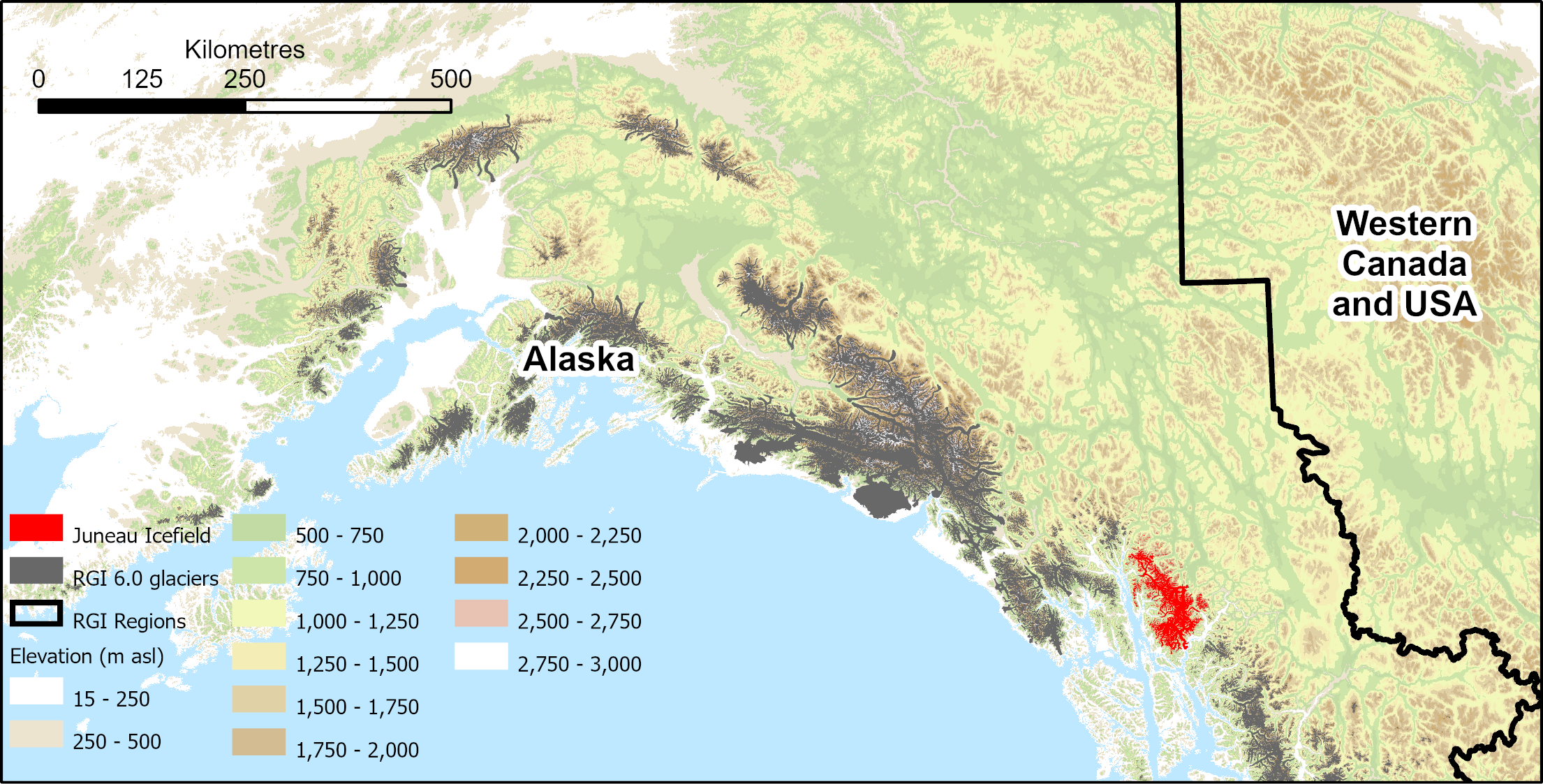
Juneau Icefield is one of the largest icefields in the world, with glaciers reaching from 9 m to 2300 m above sea level. It is interesting because, like many glaciers in high latitude regions, it has a flattish upper portion. Ice caps and icefields with plateau accumulation areas like this can be susceptible to rapid change, as the snowline rises above the low-slope plateau.
Juneau Icefield is made up of many interconnected glaciers, with outlet glaciers draining from the large central plateau, and numerous smaller glaciers on the mountain slopes all around.

Plateau Icefields
Juneau is a large plateau icefield; that is, it has a fairly flat upper icefield6. This can make it quite sensitive to climate change. This is because as warming temperatures result in the snowline rising, the area of the icefield with permanent snow (accumulation zone) shrinks rapidly across its flat upper surface. The end of summer snowline lies at the Equilibrium Line Altitude (ELA), where over the course of the year, the mass gain is equal to the mass loss. Above the ELA, there is net gain over the course of the year. Below the ELA, there is net loss.


Rising ELAs across low-slope plateau icefields are problematic, as the low slope here means that there is a rapid and large loss of accumulation area6–9. These top-heavy glaciers are predicted to experience significant area loss over coming decades 6,10–12.

You can view our work on reconstructing the palaeoglaciers of Juneau Icefield over the Holocene, from remote sensing and fieldwork.
These glaciers are now shrinking and receding significantly. The video below shows Vaughan Lewis Icefall in 1984 and change over 30 years.
Further reading
The glaciers of Juneau Icefield
Structural glaciology of Juneau Icefield