Pre-Quaternary Antarctic Peninsula Ice Sheet evolution | Quaternary glaciation of the Antarctic Peninsula | Last Glacial Maximum | Antarctic Peninsula Ice streams | References | Comments |
This section is largely taken from Davies et al. 2012 (Quaternary Science Reviews)[1], and summarises Antarctic Peninsula Ice Sheet evolution throughout the Cenozoic, Last Glacial Maximum and into the Holocene.
Pre-Quaternary Antarctic Peninsula Ice Sheet evolution
Palaeogene (65.5 to 23.03 Ma)
Evidence for pre-Quaternary (see Table 1) glaciations of the Antarctic Peninsula mostly come from offshore seismic and drilling campaigns. There are some terrestrial records from King George Island, South Shetland Islands, and on James Ross Island.
The continental shelf and slope, extending beyond the reach of later Quaternary ice sheets, preserves thick sedimentary strata deposited during glacials and interglacials over the last 35-40 million years (Ma)[2]. Pre-Quaternary sediments have been dated using biostratigraphy (dinoflagellate cysts)[2], isotopic dating of volcanic rocks[3-5] and strontium isotopes analysis on shells[6, 7].

The earliest ice sheets began to develop around the Palaeogene-Neogene boundary (see Table 1), circa 35 Ma[8]. Mean global temperatures were around ~4°C higher than today[9, 10].
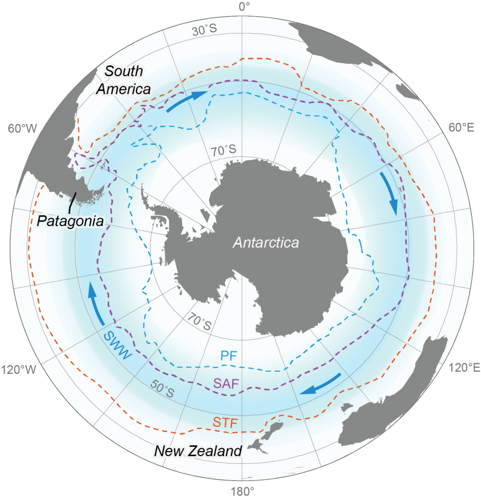
Mountain glaciation around the Antarctic Peninsula was initiated 37-34 Ma, coinciding with the opening of the Drake Passage, the separation of the Andes and the Antarctic Peninsula, and the development of the Antarctic Circumpolar Current[11]. The Antarctic Circumpolar Current isolated Antarctica from other regimes, resulting in the development of a cooler polar climate[12].
These early ice sheets were thin and dynamic, fluctuating at 40,000 year cycles in response to variations in the earth’s orbit around the sun (Milankovitch cycles)[13, 14].
The relatively high mountains of the Antarctic Peninsula probably acted as a nucleus for glaciation, with cooler temperatures at higher altitudes encouraging glacierisation[1, 11].
The longest terrestrial record of glaciation comes from King George Island, South Shetland Islands, with glaciers developing from the Miocene.
Neogene (23.03 to 2.54 Ma)
Sediments from the Pacific continental margin, ~9 Ma in age, have yielded a high-resolution history of multiple ice advances and erosional episodes, indicating a persistent Antarctic Peninsula Ice Sheet[1, 15, 16].
Sedimentary evidence suggests that Pliocene ice (<3 Ma) was probably relatively thin and did not inundate the topography[17].
During this period, the West Antarctic Ice Sheet and Antarctic Peninsula Ice Sheets together grew successively larger, with periodic collapses during interglacials.

During periods of West Antarctic Ice Sheet absence, the Antarctic Peninsula Ice Sheet remained as a series of island ice caps, and was also a refuge for plants and animals[2, 18, 19]. The East Antarctic Ice Sheet remained relatively stable during this time.
James Ross Island has yielded an excellent record of Neogene glaciations, preserved in glaciovolcanic sediments. The volcanic rocks are dateable, and the sequence provides an excellent record of glacial activity[1]. The volcanic sequences were formed by repeated volcanic eruptions (>50) beneath glacier ice from 9.9 to 2.6 Ma, forming pillow lavas and hyaloclastites[4, 5, 20].
They form the Hobbs Glacier Formation, which lies between Cretaceous marine sediments and the younger James Ross Island Volcanic Group. See Subglacial Volcanoes for more information on this.


These sediments indicate that Antarctic Peninsula ice expanded as far as James Ross and Seymour islands, with a polythermal regime[4, 20, 21]. Sedimentary facies indicate a climatic regime similar to that in Svalbard today[22].
Ice thickness data can be deduced from these glaciovolcanic rocks[23]. Maximum ice thicknesses are now well known for the Antarctic Peninsula since 7.5 Ma[4, 5, 20, 24].
Ice thicknesses were generally around 250-300 m around James Ross Island, but occasionally reached 850 m. Ice thicknesses were increasing towards the end of the Pliocene. This is covered in more detail under Subglacial Volcanoes.
Quaternary glaciation of the Antarctic Peninsula
Early Pleistocene (2.54 to 1 Ma)
Excepting a few glaciovolcanic sequences on James Ross Island, there is little terrestrial evidence of Early Pleistocene glaciation. Most of the data is from seismic profiling and coring of sediment drifts on the continental rise[17].
These sediments are dated by magnetic stratigraphy, tuned to the marine isotope record. These continental rise sediments indicate an ice-sheet dominated environment developing through the Pliocene into the Pleistocene, with increasing grounding on the continental shelf[25].
Middle Pleistocene (1Ma to 200 ka)

After the Mid-Pleistocene Transition at 1 Ma, ice streams began to develop on the continental shelf during this period, leading to the development of trough-mouth fans at their termini[17].
After 1 Ma, lower global sea levels encouraged grounding line advance well into the Bellingshausen Sea continental shelf. A positive feedback loop was established, with cooling leading to ice sheet growth and sea level lowering, which encouraged further ice sheet growth and cooling[26, 27].
During the Middle Pleistocene, ice sheets were reaching the continental shelf for longer, with more distinct glacial-interglacial cyclicity[28]. Marine sediments from the continental slope have less ice-rafted debris, which suggests that the ice sheet was bound by sea ice and ice shelves, which inhibited iceberg transport of glacial debris[17].

The tuff cone Terrapin Hill on James Ross Island has been dated to 0.66 Ma, with a base resting on glacial material. The tuff cone morphology and sedimentology, however, indicates open marine, interglacial conditions[4, 21].
Late Pleistocene (200 ka to Last Glacial Maximum)
Late Pleistocene interglacials were characterised by ice shelves in the Larsen embayment. During the last interglacial, a smaller-than-present or absent West Antarctic Ice Sheet may explain globally higher sea levels[29-31].
Ice-rafted debris occurs in greater abundances on the continental slope and rise during interglacial periods during the Late Pleistocene, with more varied stone lithologies[32-34]. This is because warmer conditions during interglacials encouraged the collapse of ice shelves.
Combined with reduced sea ice, this allowed icebergs to transport debris to the continental shelf and slope. Warmer conditions would also have encouraged faster movement and increased bedrock erosion. This is therefore analogous to the situation during the Holocene.
During Late Pleistocene glacial periods, ice volumes increased markedly along the Antarctic Peninsula[1], possibly reaching 2350 m at Mount Jackson. Glacial cycles now had a dominant periodicity of 100,000 years, with around 120 m eustatic sea level change.
The Antarctic Polar Front was located further north than during earlier periods, with enhanced sea ice and reduced iceberg transport of debris[17, 34]. Thick ice streams were abundant on the continental shelf, with warm-based ice grounded on the continental shelf during glacials[35].
Last Glacial Maximum (~18,000 years ago)
There was a significant increase in ice volume during the Last Glacial Maximum[36, 37], which peaked prior to 18,000 years ago (18 ka BP). The Antarctic Peninsula Ice Sheet had an increased volume relative to today of 1.7 m eustatic sea level equivalent.

Geomorphological landforms on the continental shelf are typified by irregular, short erosional forms on the inner shelf, drumlins on the middle shelf, and elongate forms on the outer shelf[38-43].
These elongated “Mega Scale Glacial Lineations” are formed in thick off lapping sequences of deformable sedimentary strata, which were deposited on the continental shelf from the Miocene onwards[17].
These landforms indicate that, at the Last Glacial Maximum, ice streams occupied bathymetric troughs and flowed out across the continental shelf around the entire Antarctic continent[44].
These topographically-controlled ice streams scoured out their bathymetric troughs throughout Pleistocene glacials, each time leaving a record of their occurrence in the trough-mouth fans on the continental rise. These ice streams drained the Antarctic Peninsula Ice Sheet and confined its thickness to less than 400 m[45].

The figure above, from Davies et al. (2012), is a schematic map with the likely extent, disposition and behaviour of the ice sheet around 18 ka BP.
Antarctic Peninsula ice streams
Reconstructing past (palaeo) ice streams provides an important context for understanding their recent behaviour, controls on this behaviour, and how ice streams might behave in the future[44].
Studying the basal characteristics of Antarctic palaeo ice streams means that the role of basal topography, bedrock geology and sediment erosion, transportation and deposition can be better understood.
The diagnostic sediment-landform assemblages left behind by ice streams[46] has meant that a large number of ice streams have been identified around the Antarctic continent, from both marine and terrestrial settings.

At the Last Glacial Maximum, palaeo-ice streams extended to the shelf edge in West Antarctica and in the Antarctic Peninsula, but in East Antarctica they usually were restricted to the mid-outer shelf[44].
These palaeo-ice streams occupied bathymetric troughs, and are identified by the glacial bedforms (such as mega-scale glacial lineations) in these troughs, and trough-mouth fans at their termini.
The outer-shelf zones of these cross-shelf troughs are characterised by soft, unconsolidated sediments, in which mega-scale glacial lineations and grounding zone wedges are preserved[44]. The inner shelf, instead, is generally composed of crystalline bedrock and has a higher bed roughness. Drumlins, grooved bedrock and meltwater channels are often observed here.
Where there is detailed geomorphological data available, the retreat styles of various Antarctic ice streams can be better understood. Three styles of retreat have been identified around the Antarctic Peninsula.
Rapid retreat with floatation and calving results in well-preserved subglacial bedforms on the continental shelf. These include mega-scale glacial lineations[47]. Marguerite Trough Ice stream is an example of an ice stream characterised by rapid recession.
Episodic retreat is recorded by mega-scale glacial lineations that are overprinted by transverse grounding-zone wedges, each recording a pause in ice stream retreat with a stationary grounding line. An example of this would be the ice stream that extended out of the Larsen A embayment on the Antarctic Peninsula[47].
Finally, slow and steady retreat is recorded by numerous closely-spaced moraines and intermittent grounding-zone wedges[47]. In the Western Ross Sea, there are six bathymetric troughs on the continental shelf. The palaeo-ice stream was about 370 km long, with a zone of glacial deposition on the outer shelf, and erosional landforms on the inner shelf.
Transverse sedimentary ridges overprint mega-scale glacial lineations throughout. They are grounding zone wedges, and are 3-12 m high, 180 m to 8 km apart. There are also smaller moraines, 1-2 m high and 10-100 m apart[47, 48].
The geomorphological record therefore suggests that retreat varies strongly between different troughs, with three principle styles of retreat recognised. This suggests that individual ice streams respond differently to external forcings during deglaciation[47], and instead are regulated by local factors, such as drainage basin size, bathymetry and sediment supply.
The western sector of the Ross Sea is fed from two drainage basins in East Antarctica measuring 1.6 million km2 and 265,000 km2. This huge drainage basin may have meant that the outlet glaciers may have responded more slowly to external forcing.
The Marguerite Bay drainage basin, in contrast, would have been of the order of 10,000 to 100,000 km2 during the LGM, and the ice streams draining this basin would have responded more rapidly to changes in external forcing[47]. Constraints such as these are important for numerical models that attempt to replicate and predict the past and future behaviour of the Antarctic Ice Sheet.
By analysing retreat styles and rates of retreat around Antarctica, we can put more recent variations into context and determine their significance. The individual characteristics of each ice stream modulates its recession. Even under the same changes in environmental conditions and external forcings, ice streams will retreat at individual rates. Ice-stream behaviour and grounding line retreat is therefore unique to every ice stream. In order to constrain future ice stream behaviour, a detailed understanding of subglacial bed properties and bed geometry is required[44].
Deglaciation and recession of the Antarctic Peninsula Ice Sheet
Around the Antarctic Peninsula, recession from the outer shelf began at about 17.5 ka BP, from the middle shelf around 14 ka BP and the inner shelf around 11 ka BP. Ice streams receded both rapidly and episodically, depositing grounding-line wedges during periods of stand-still[40].
Radiocarbon dates from marine sediment cores across the continental shelf provide an indication of ice marginal positions during recession.

Further reading
- Mega Scale Glacial Lineations
- Antarctic Peninsula Ice Sheet
- Ice shelves
- Antarctic Peninsula photographs
- Glacier recession on the Antarctic Peninsula
- Glaciers and climate change
- Subglacial volcanoes
Go to top or jump to Subglacial Volcanoes.
Pingback: How do you gin up global warming fear in a world which hasn't warmed in decades?
Dear Dr. Bethan Davies,
Do you know when did the bathymetric troughs have been scoured? Maybe during glacial phases pre-LGM (John and Sugden 1971; Curl 1980)?
Thank you in advance
Pablo
Dear Pablo,
I think that these bathymetric troughs were scoured during multiple glacial phases during the Neogene and Quaternary, up to and including the LGM. Deep trough-mouth fans on the continental shelf point ot focused sediment delivery by ice streams occupying these troughs throughout this period.